East New Britain is a province of Papua New Guinea, on the north-eastern part of the island of New Britain and it also includes the Duke of York Islands. The capital of the province is Kokopo, not far from the old capital of Rabaul, which was largely destroyed in the 1994 volcanic eruption. East New Britain covers a total land area of 15,816 square kilometres (6,107 sq mi), and the province has an estimated population of 220,133 (2000 census), rising to 271,250 in the 2011 count. Provincial coastal waters extend over an area of 104,000 square metres (26 acres).
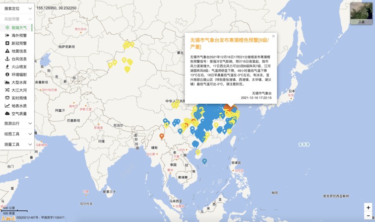
Extreme weather in China
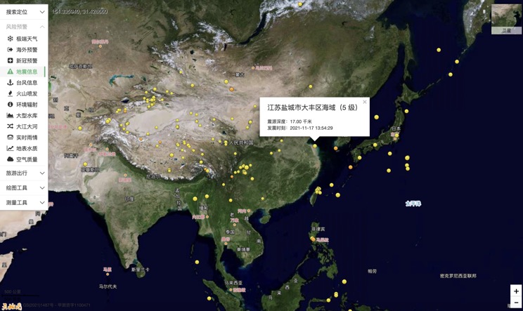
China Earthquake Information
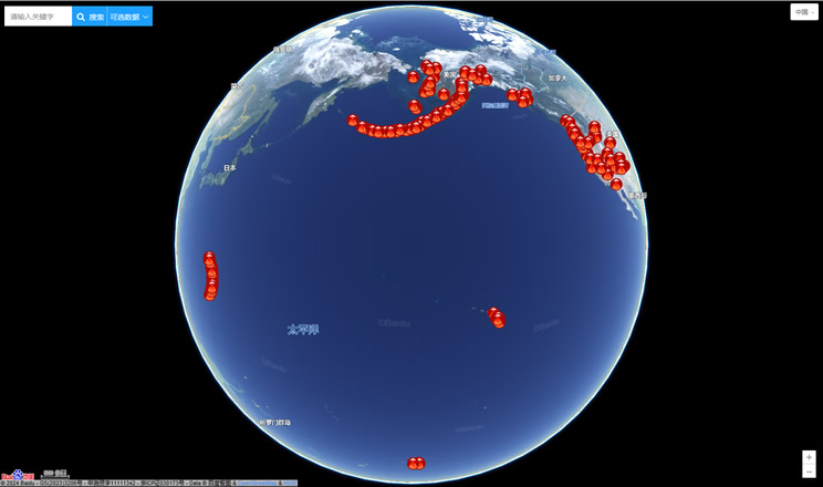
Volcano eruption
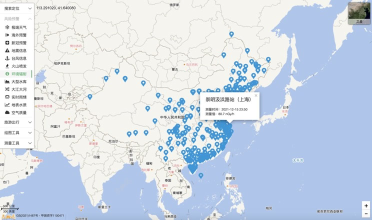
Environmental Radiation in China
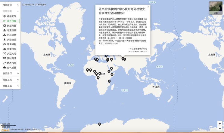
Overseas Warning
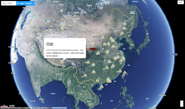
China's air quality
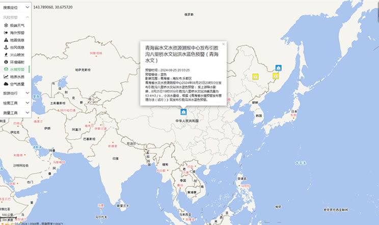
China's Water Disaster Alert
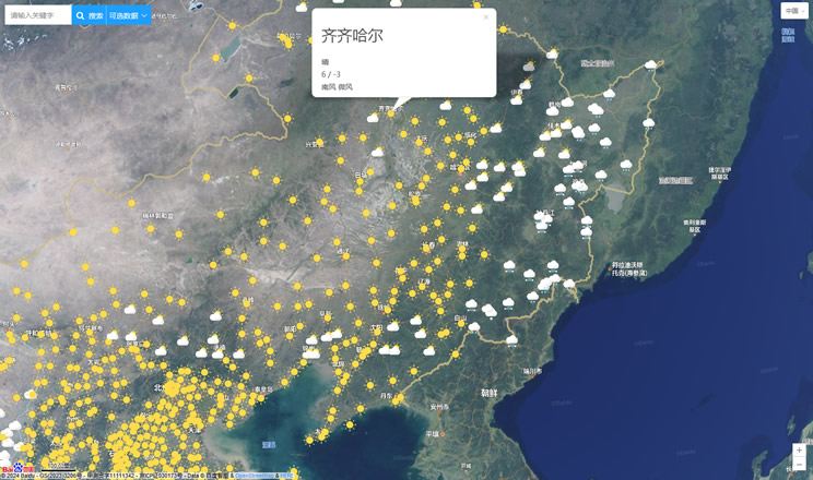
China Weather Forecast
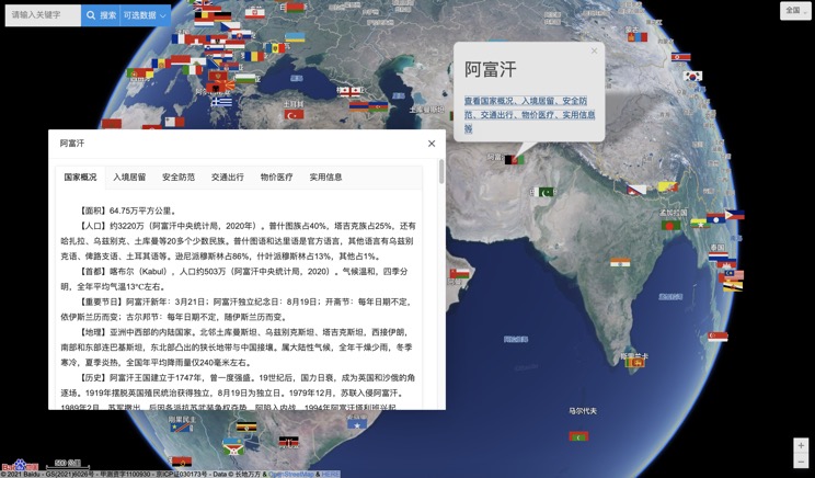
Introduction to Countries
China Subway Lines

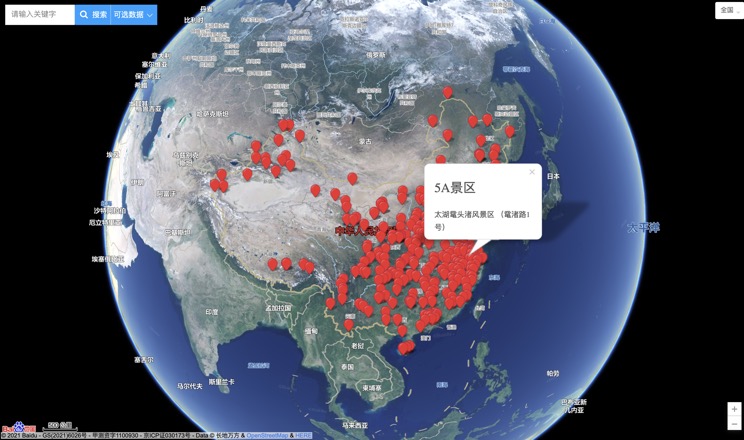
China's 5A Scenic Spots
Provincial Capitals in China
